Georeferencing is the use of coordinates to transfer an image or map onto a coordinate database. I used georeferencing for my map, in which I took a map drawn in the 18th century of the mid-atlantic region, found control points on that and Esri, and overlaid the drawn map onto a more modern and accurate map. Control points are recognizable and mutual points between two maps that can be used to properly align the two maps. Once the control points are set, Map Warper automatically rectifies the drawn map over the Esri software.
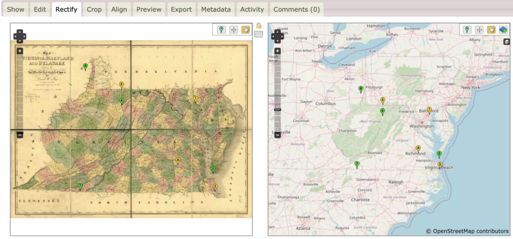
In this screenshot, you can see where I added my control points. Coasts, islands and river intersections are typically the points I choose to use when placing my control points. I do this because they are easily found on both maps, as well as it makes it easier to pinpoint an exact point.
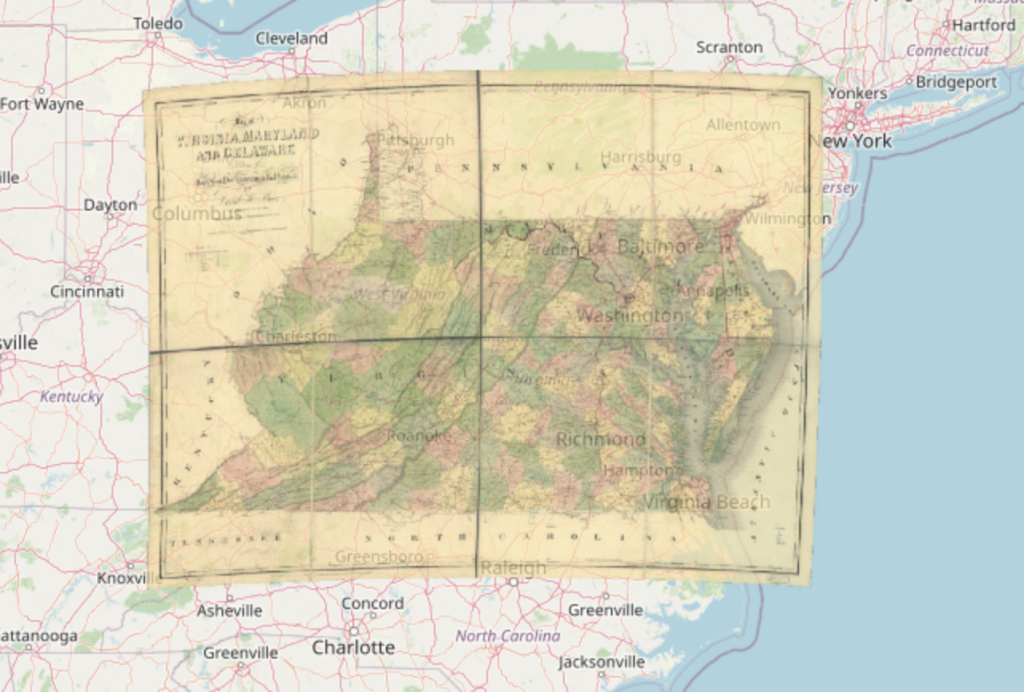
This is the map rectified over Esri, after adding the control points. You can access it from the following link: https://mapwarper.net/maps/81657#Preview_Rectified_Map_tab
A geographic information system (GIS) is a system that analyzes data to output a map visualization. Whether you realize it or not, you probably use GIS on a day to day basis. Google Maps is one of the largest uses of GIS, as it takes a map and puts almost every public and private location on it. Google maps can be used to get to work, school, home, or when traveling. GIS can be used to better our understanding of history. Old maps can provide insight into railroads, trade routes, and important locations throughout history. When creating my ArcGIS map, I found data of plantations in Virginia. I chose this because tobacco was a large cash crop in Virginia, and plantations are where tobacco is grown. The biggest problem I faced was finding data. I couldn’t find any specific data on the tobacco production of these farms, which I think would have been useful. Although more advanced, it would have been cool to make a visualization with the farms and how much tobacco they produced each year.
My ArcGis map is useful for the understanding of tobacco in early America because plantations are the first step in the tobacco trade. When looking closely at my map, you can notice that most farms are near either a river or the Chesapeake Bay. This would make sense, as it provides better conditions for farming. It is also helpful for the export, as it takes less time to go from harvesting the tobacco to getting on the boat to eventually getting to the consumer. My map helps provide a visualization of how densely packed these farms were near coastal areas. I think it speaks further to the prevalence of tobacco in early america.
Bibliography
Burr, David H., Cartographer, David H Burr, and John Arrowsmith. Map of Virginia, Maryland and Delaware exhibiting the post offices, post roads, canals, rail roads &c. [London: J. Arrowsmith, 1839] Map. https://www.loc.gov/item/98688346/ (Accessed 4/23/2024).
Wikimedia Foundation. (2023, December 23). List of plantations in Virginia. Wikipedia. https://en.wikipedia.org/wiki/List_of_plantations_in_Virginia
Leave a Reply